DOLE PACIFIC

Cargo

FacebookLinkedInTwitterRedditVKPrint

Information related to the Cargo vessel DOLE PACIFIC (MMSI 311000414, IMO 9703057) from Bahamas with latest positions and portcalls.

MMSI311000414
IMO9703057
NameDOLE PACIFIC
Country Bahamas
MMSI TypeVessel
TypeCargo
Call SignC6CA2
ClassA
Id5c05b4a4b9a4566a92977940
Course303.7
Speed (kn)17.7
Heading (°)301
PAC
ROT0.04464028833340796
StatusNot under command
Leaflet | © OpenStreetMap contributors

First Seen6 years ago
Last Updatean hour ago
Positions528
Latitude20.373468333333335
Longitude-107.12462
Length (m)190
Width (m)30
DestinationSAN DIEGO USA
ETANov 13, 2019 12:00 AM

Distance travelled (nm)

Since first seen224588.61
Since last port call2289.88
Since last position0

Estimated Load

66%

Speed (kn) / Draught (m)

7 8 9101112131415161718192021April 2025

Draught (m)

Current9
Min7
Max10
Average9

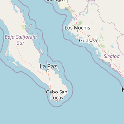
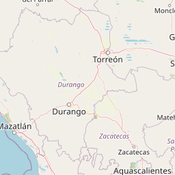
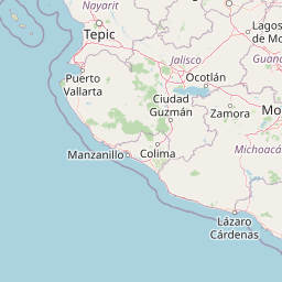
The Cargo vessel DOLE PACIFIC (mmsi 311000414) from country Bahamas is currently located at 20.373468 N -107.124620 W and the last position is sent an hour ago. At the moment the vessel is Not under command heading 301 degree at speed 17.7 knots, and its current draught is 9 meters. The vessel is long 190 m and large 30 m, and it's estimated to be loaded at 66%.

Timeline

The following timeline will display the list of porcalls and other events regarding the ship including tracks.